Calanda traverse – Napoleon
Over the Napoleon ridge to the Haldensteiner Calanda.
Season
Group days
Duration
Difficulty
Included services
- Mountain guide
- Driving permit
Extra cost
Additional services (bookable)
Calanda traverse – Napoleon
Program
Vazer Alp - Rossfallenspitz - Napoleon - Haldensteiner Calanda - Vazer Alp
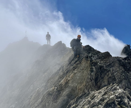
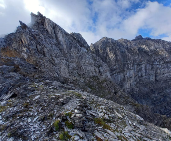
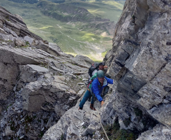
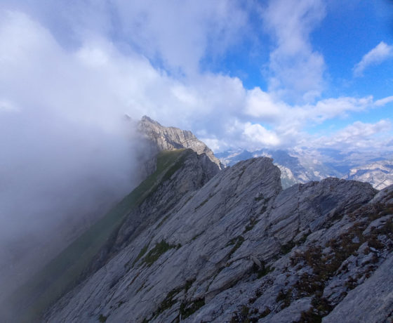
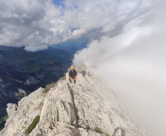
Together we go by car to the Vazer Alp. From there the varied hiking and climbing starts. First across the steep meadow without a path on the Berger Calanda then along the ridge onto the Rossfallenspitz. With several short ascents and descents we reach Napoleon mostly along the ridge. The Napoleon is not shown in the national map, but its altitude is about 2730m. We abseil briefly and then climb up again into the gap (Lugga) and continue to the Tamin flank. Now the terrain becomes easier again and we soon reach the Haldensteiner Calanda.
After a well-deserved rest on the summit, we descend via the red-white marked hiking trail to the Vazer Alp.
2805 m 6 Stunden 1100 hm Surefooted and free from vertigo.
Skills
Surefooted and free from vertigo. Endurance for approximately six-hour hike.
Equipment
- Mountaineering boots
- Climbing harness
- Helmet
Meeting point
by arrangement with the mountain guide
Getting there
Parking:
Park&Rail Train station Chur
Public transport:
Chur can easily be reached by public transport. In only a few minutes you reach our partner shop Exodus by Go Vertical in Chur by foot (adress: Obere Gasse 48, 7000 Chur)
Park&Rail Train station Chur
Public transport:
Chur can easily be reached by public transport. In only a few minutes you reach our partner shop Exodus by Go Vertical in Chur by foot (adress: Obere Gasse 48, 7000 Chur)
Accomodation / comfort
Good to know


